- 2.5 MPixel High Resolution Digital Camera
- Automated Geo-Rectification/GIS Coded Images
- Full Ortho-Rectification (Camera Model) Correction
- Ability to Process in the Air-Approx 3 Minute Turn-Around
- Compressed Transmission of Data Via SatCom
- Fast Turn Around on Images – Approx 700 processed images per Hour
Product can be imported into:
- Google Earth,
- ESRI
- Generic Geospatial software package
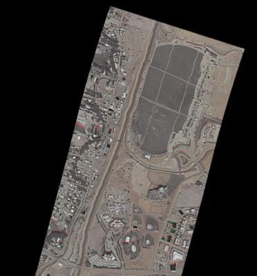
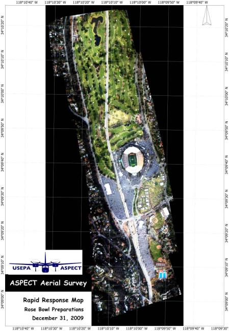
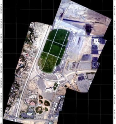
Aerial Image Mosaic, Balloon Fiesta 2010
IR Image taken during the same mission:


